
Welcome to Drones From the BORO
Elevate your business with crystal-clear aerial photography, dynamic event coverage, and actionable agricultural data flown safely by an FAA-Part 107 certified professional.
There is only one Statesboro in the United States, and a community this unique deserves a perspective to match.
My name is Kyle, and I founded Drones from the BORO to provide the highest level of aerial intelligence and creative imaging to the place I call home. My roots here run deep—I moved to the Boro to support my wife as she finished her degree at Georgia Southern, and I’ve been proud to serve this community ever since.

Check out Our first Video
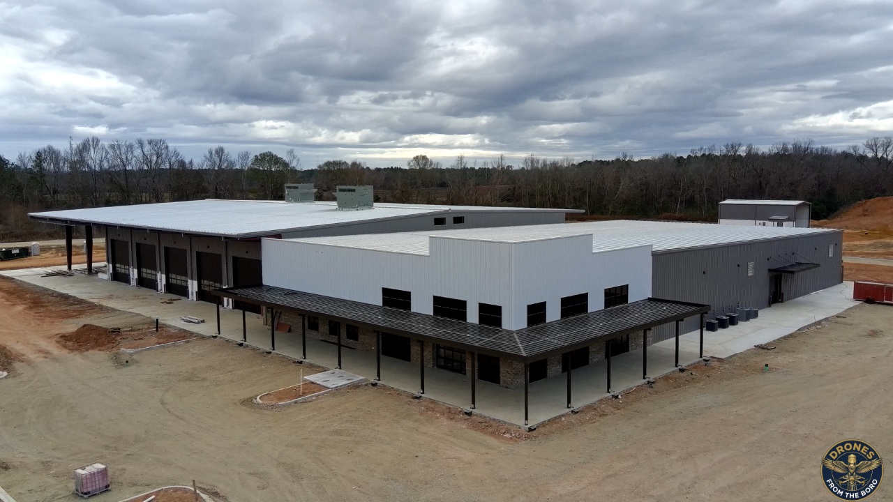


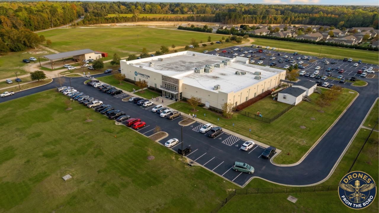
New Construction
*
Agriculture
*
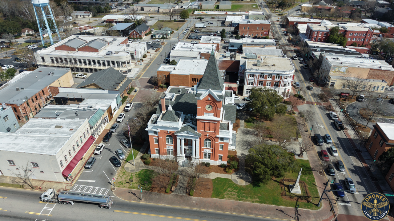
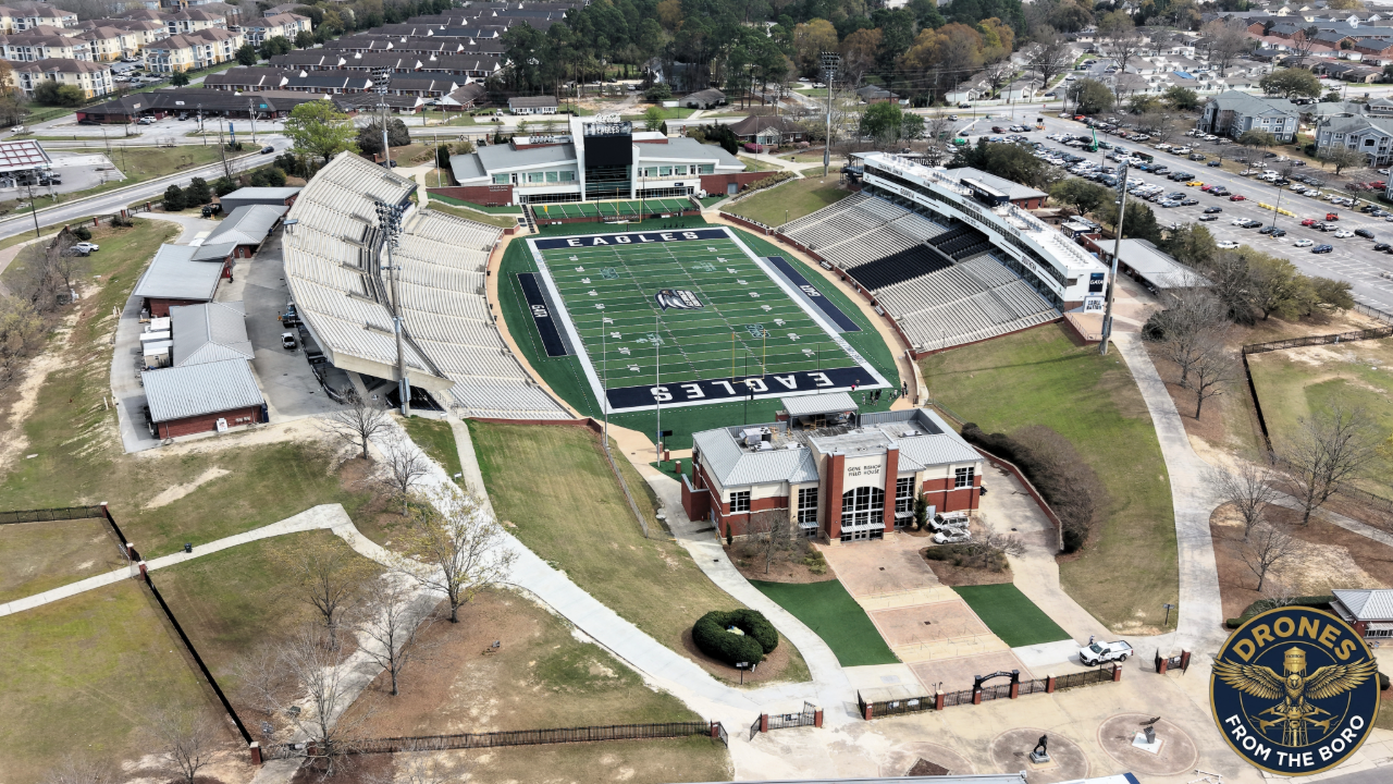
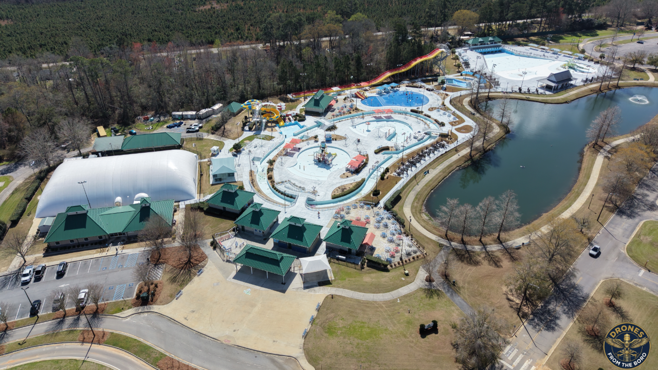
Business Media
*
Real Estate
*
Construction
*
Residential
*
Event Coverage
*
New Construction * Agriculture * Business Media * Real Estate * Construction * Residential * Event Coverage *
From Statesboro to Dublin.
To Crossroads of the Great South in Swainsboro.
To the heart of the onion fields of Vidalia.
To the ocean spray of Savannah.
We fly where you need us!
Frequently Asked Questions
-
We provide a wide range of high-resolution aerial media and data collection services, including:
Real Estate: Aerial photos and cinematic fly-over videos for residential and new construction listings.
Business Media & Events: Promotional videos, event highlight reels, and Google Earth/Map updates.
Agriculture: Visual crop scouting, drainage analysis, and rapid "before and after" mapping for insurance claims.
Residential Construction: Site surveys, progress monitoring, and safe roof or solar panel inspections.
Don't see exactly what you need? We can easily customize a package to fit exactly what you are looking for—just reach out through our Contact Us form and let us know about your project!
-
Part 107 of the FAA's regulations is the Federal Aviation Administration's (FAA) rule governing the commercial use of small unmanned aircraft systems (drones) weighing under 55 lbs in the US. It requires operators to pass an in-person, 60-question knowledge exam to obtain a Remote Pilot Certificate. (Passed 92%)
-
Satellite images on Google Earth/Maps can be heavily outdated. What we do is fly and take, at times, thousands of pictures of the location. We then stitch them together to make a new map and integrate it with Google Earth. So when you click on the link it will open google earth, go to the location and overlay the map we made to show you the most up-to-date info on that location. You can even toggle between Googles map and the one we make to see the difference.
-
For an event there is not a lot we can do.
All Other, If it's raining, heavily overcast (plant health), or winds are too high, you will work with you to reschedule when it's appropriate weather
-
You can reach us anytime via our contact page. We aim to respond quickly—usually within one business day.
-
For real estate | Same Day
Agricultural maps | 24-48 hours
Edited videos | Depending on length of video, up to a week
As long as there are no problems I should have everything back to you in under a week.
-
Ideally, I would like to give them to you via USB, that way there is no loss in quality.
For real estate and events pictures will be emailed. Videos will be on Google Drive for 5 days to be downloaded.
For Agriculture. Field maps will be USB for integration in Equipment. Reports will be emailed.
Google earth updates will have the Link created and emailed to you